A soil profile records changes with depth
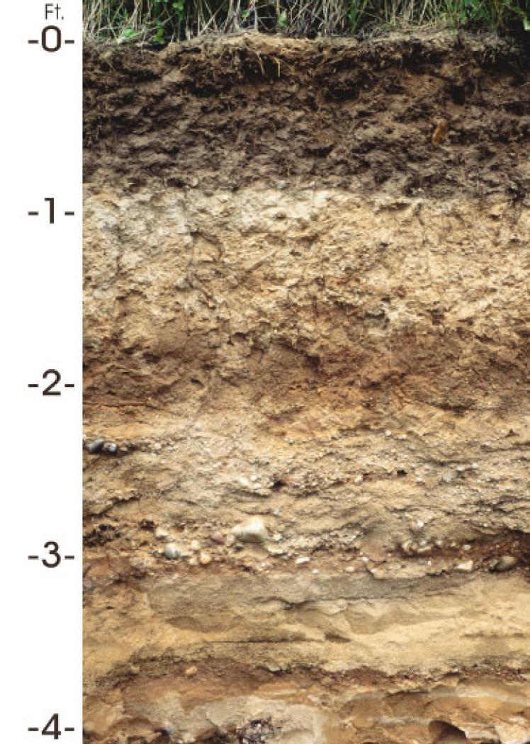
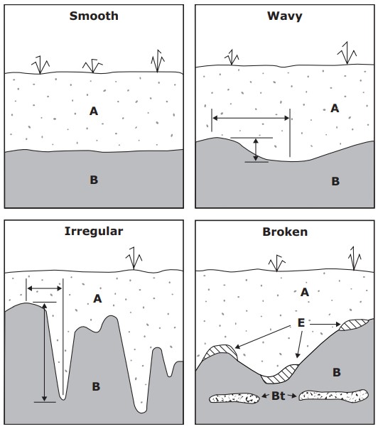
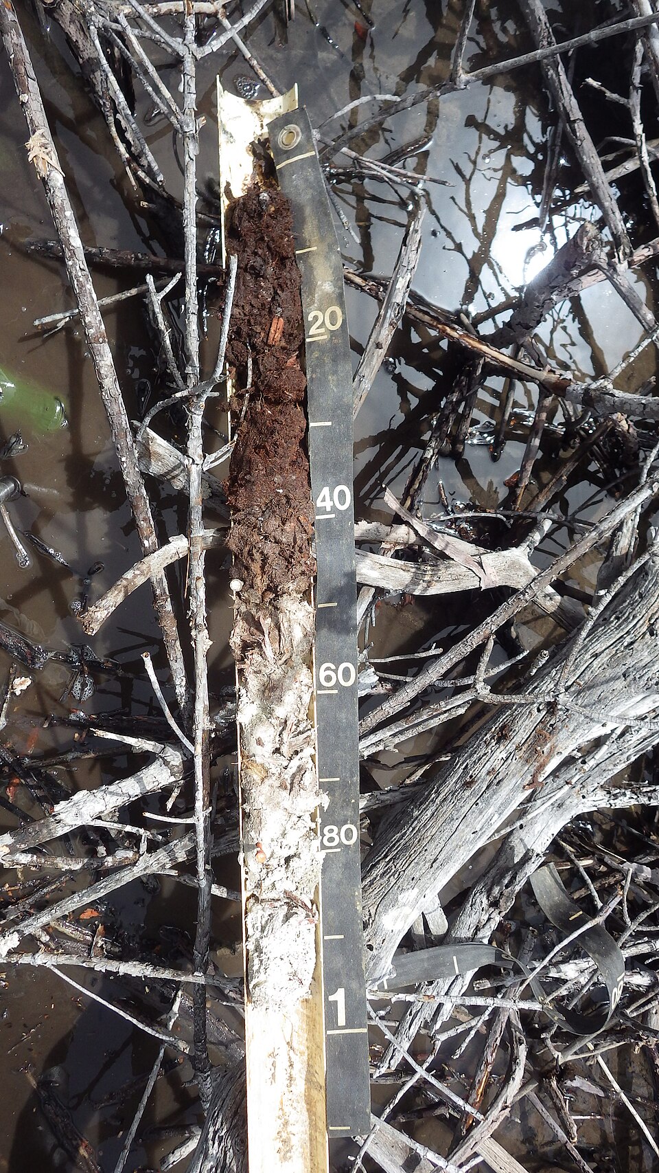
A soil horizon is a layer whose properties distinguish it from adjacent material as a result of soil-forming processes. A profile may show changes in colour, organic matter, texture, structure, mineral accumulation or rooting. Some boundaries are clear, while others are gradual or irregular. Not every visible layer is a developed soil horizon: deposited materials and cultivated zones can also create contrasts. A profile description helps explain where water moves and roots grow. It does not supply a universal schedule of sensor depths. Use the actual field conditions to decide which layers need separate measurements.
What the common horizon letters mean
The O designation describes an organic layer, where present. An A horizon is a mineral surface horizon commonly influenced by organic matter and biological activity. E describes a horizon showing loss of certain constituents through eluviation. B indicates subsurface development or accumulation according to the classification system. C describes relatively little-altered parent material, and R denotes hard bedrock. Profiles do not necessarily contain every designation or follow a simple diagram. Suffixes and combined symbols provide additional detail. Regional classification systems can differ, so use the description accompanying a soil survey rather than guessing properties from a single letter.
Interpret layers without assuming their age
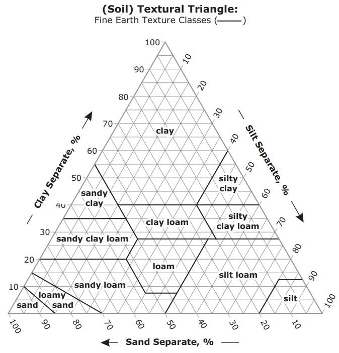
Weathering, movement of dissolved and suspended material, biological activity and accumulation can differentiate horizons over time. Cultivation, erosion, deposition and land levelling may alter or truncate the resulting sequence. Deeper material is not automatically an older soil horizon, and clay content does not invariably increase downward. A dark surface may suggest organic influence but does not quantify carbon or fertility on its own. Compare visual observations with texture assessment and relevant testing. Our soil properties guide explains the physical and chemical measurements that turn a profile observation into a useful management description.
How horizon changes affect water movement
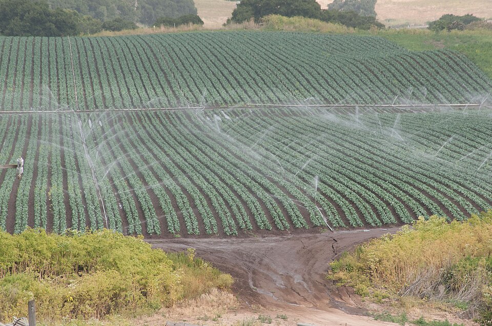
Water movement depends on pore size, continuity, wetness and the properties of adjacent layers. A dense horizon can restrict rooting or drainage, while a coarse layer beneath finer material can alter unsaturated flow until conditions allow water to enter it. Cracks and old root channels may transmit water around the matrix. Following irrigation, a rapid deep response can therefore have several explanations. Examine the profile and irrigation pattern before concluding that all the intervening soil has been replenished. The irrigation guide explains why responses at different depths should be interpreted together.
Choose sensor depths from the rooted profile
Locate the main active roots and the layers they occupy. A shallow measurement can show drying in the upper root zone, while another within deeper roots can indicate whether irrigation penetrates sufficiently. A measurement below most active roots can help investigate deeper movement, but its interpretation depends on the site. Avoid placing a sensing element across a boundary if the goal is to describe one layer. A profile probe with fixed spacing may place some elements close to transitions; record that geometry explicitly. For vineyards and orchards, rooting and irrigation distribution can also vary with distance from the trunk or emitter.
Document the profile and revisit it
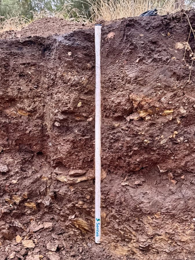
Record the position, depth range and visible properties of each relevant layer before closing an installation pit. Include root observations, stones and any disturbance from preparation. Photographs with a depth reference help future operators understand what the readings represent. Repeat observations elsewhere if the field is variable; one pit cannot establish the structure of the entire management zone. After installation, compare wetting and drying patterns with the original description and check anomalies in the field. Our monitoring applications guide connects profile knowledge with practical layouts, while sensor reviews describe the depth options of specific equipment.
Common questions
Should every field use the same sensor depths?
No. Choose depths from active roots, horizons and the question each measurement answers. Record the relation between the sensor and layer boundaries.
What should I record when comparing readings?
Keep the date, sensor model, depth, location, measurement units and calibration with the reading. Record irrigation and sampling methods where relevant so that later comparisons describe the same quantity and field conditions.
Apply this to your monitoring plan
Use the actual layers and roots to choose the monitored depths.