How soil formation differs from geomorphology
Soil formation, or pedogenesis, describes processes that develop soil from mineral or organic materials. Geomorphology concerns landforms and the processes that shape the landscape. The two are connected: erosion, deposition and drainage alter the material and conditions in which a soil develops. Soil orders classify diagnostic soil properties, whereas landforms describe the shape and setting of the terrain.
Parent material, climate, organisms, relief and time provide a useful framework for thinking about soil development. Their effects interact. The same underlying material can produce different profiles under different drainage or vegetation, while transported sediments may differ sharply from the rock below. Time does not supply a simple age scale that can be read from the number of visible horizons. Management can also modify the surface and rooting conditions.
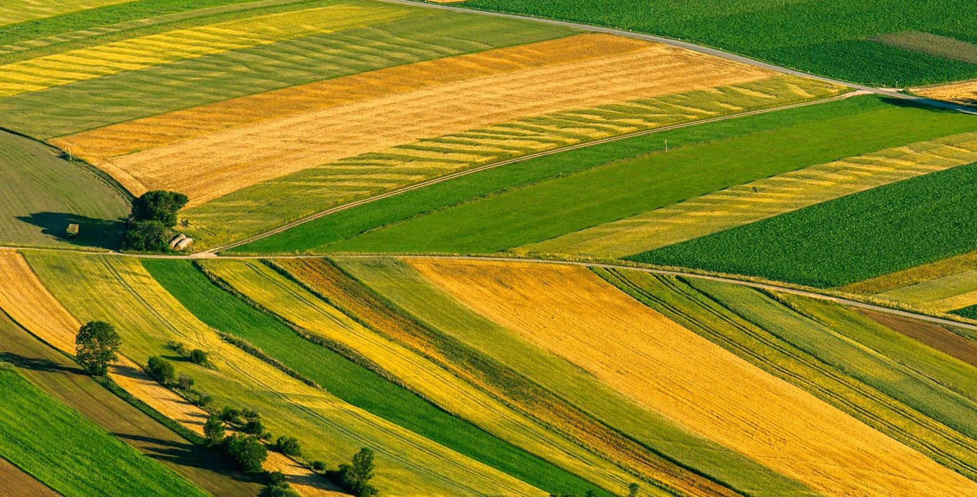
Read a field from the upper slope down
An upper slope may lose soil through erosion, exposing a shallower or coarser profile. A footslope may receive sediment and run on water, producing deeper soils or wetter conditions. A depression may stay saturated after adjoining ground drains. These are common possibilities rather than rules: artificial drainage, terraces, local geology and irrigation design can reverse or complicate the pattern.
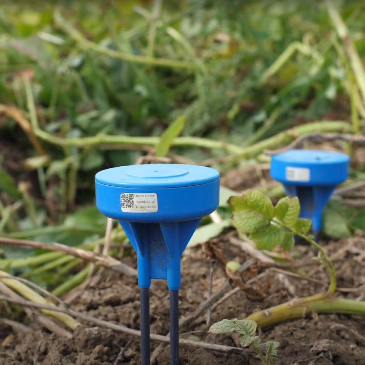
Walk the field after rainfall or irrigation and compare those observations with soil cores, yield patterns and a soil survey. Persistent wet patches deserve separate attention because they may reflect delivery problems, restricted infiltration or landscape drainage. A single sensor placed in the lowest, easiest to reach corner can exaggerate water availability in the main crop area. Equally, the driest exposed edge may not represent the whole field.
Look for changes that affect the roots
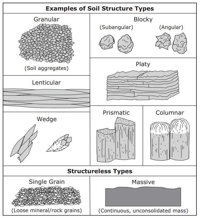
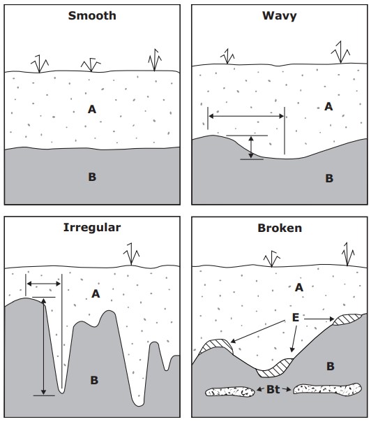
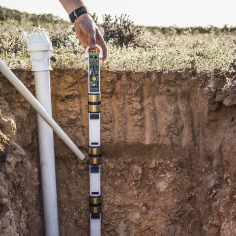
At proposed monitoring sites, note the depth of each visible layer, texture, gravel, roots and any dense or cemented zone. Abrupt boundaries can slow water movement or redirect it laterally. Pale and mottled colours may suggest seasonal wetness, but interpretation depends on the soil and environment. Use observations to identify questions for a qualified local adviser rather than treating one colour as a complete drainage diagnosis.
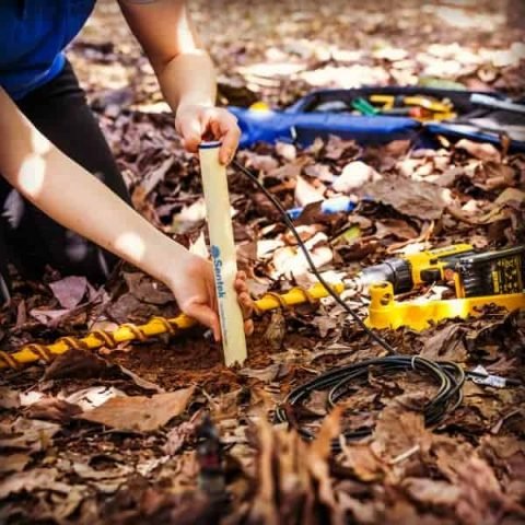
Installation depth should correspond to the effective root zone, not simply to a standard spacing on a probe. Where the soil is shallow over rock, a deep sensing level may fall outside productive soil. Where roots extend through contrasting layers, record each level separately. The horizons guide and installation guide explain how to translate these observations into useful monitoring positions.
Build monitoring zones from evidence
Group areas with similar soil, crop, irrigation and landscape behaviour, then select representative sites within the important groups. Avoid creating a different station for every small visual variation unless it affects a management decision. The aim is to discover whether irrigation timing or duration should differ, and whether a station can describe the area it serves.
Over the season, compare moisture trends and crop response between zones. A slope position that seemed distinct may behave similarly under your irrigation system, while a hidden compacted layer may produce a much larger difference. Keep the initial zone map open to revision. Soil taxonomy supplies broad context, and time series reveal how the actual field responds to water and weather.