A network designed around hydrological questions
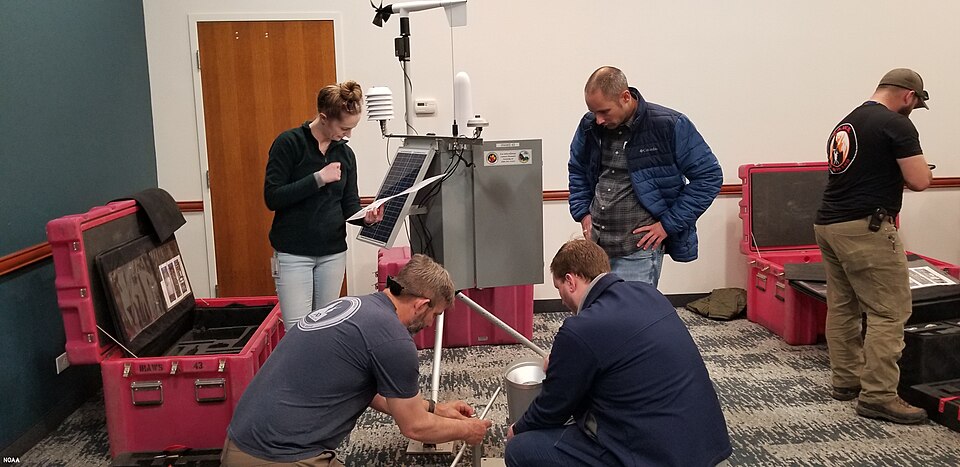
The NOAA Hydrometeorology Testbed soil moisture network paper describes monitoring in the Russian River and North Fork American River areas of California and the San Pedro area of Arizona. Published in 2011, it discusses network design, instrumentation and preliminary results. The programme sought observations relevant to hydrology and weather related applications, with different environments and user needs shaping the installation.
The 2011 study provides a historical account of the testbed. Its network design approach remains useful: define the question, choose locations that represent important conditions, and collect observations with enough context to interpret them. A group of identical instruments is not automatically a useful network if all are placed in the same convenient type of location.
Choose sites and depths deliberately
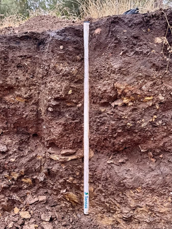
Soil moisture varies with precipitation, vegetation, soils, terrain and local drainage. Measurements at several depths can distinguish a surface response from deeper storage. Measurements across several locations can reveal whether one site is typical or exceptional. Increasing the number of readings at a single shallow position cannot fully replace either kind of coverage.
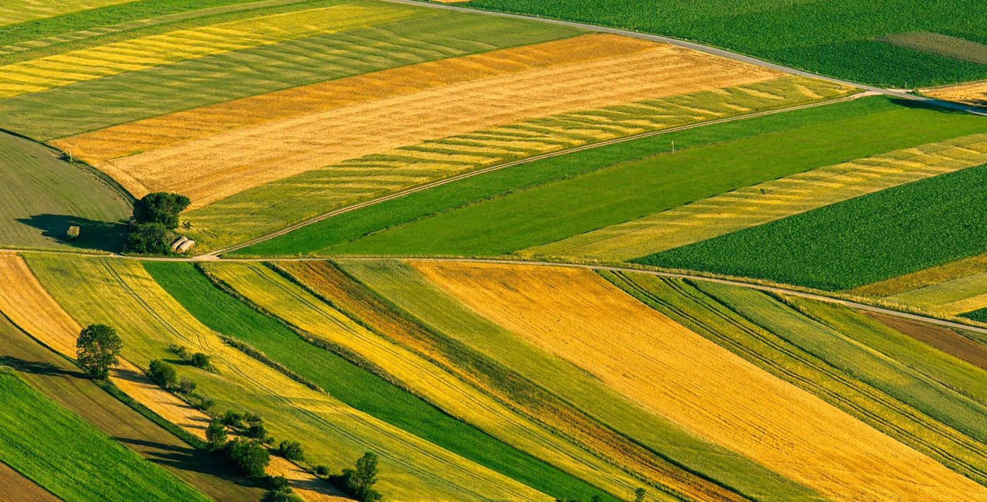
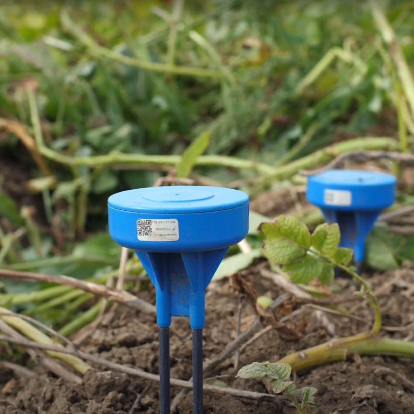
For an agricultural network, apply the same reasoning to irrigation zones and effective rooting depth. A low point or a heavily wetted spot beneath an emitter may answer a specific diagnostic question but poorly represent the main crop. The landscape guide and placement guide explain how to turn field differences into a defensible station plan.
Make the record interpretable
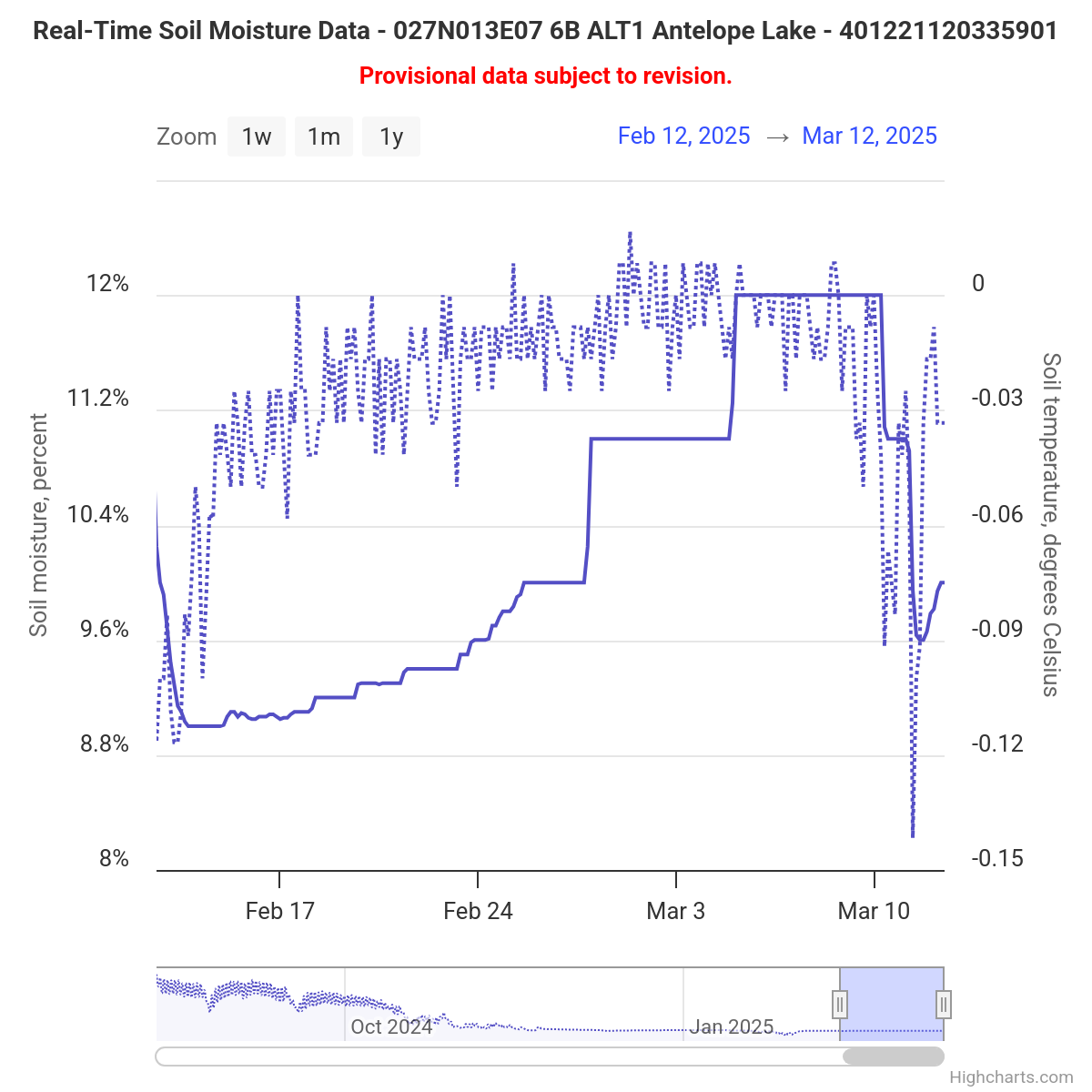
A useful observation includes a timestamp, depth, units, site description and a clear definition of the measured variable. Soil texture, installation history and maintenance events help explain changes. If a replacement sensor introduces a step in a series, recording that replacement prevents the step from being interpreted automatically as a hydrological event. Data delivery faults should also be distinguished from unusually stable or dry soil.
Quality control needs both automated checks and field knowledge. Plausible ranges can catch gross faults, while comparisons between depths, nearby sites and rain records can reveal subtler inconsistencies. A legitimate extreme event should not be discarded merely because it is unusual. Preserve the original record and document corrections so later comparisons remain understandable.
Transfer the principles to a manageable farm network
Start with the decisions the farm can act on: irrigation timing, excessive drainage, uneven water delivery or conditions in a distinct soil zone. Place enough stations to represent the important differences, then assess their behaviour before expanding. A network that nobody reviews may create more data without improving a single decision.
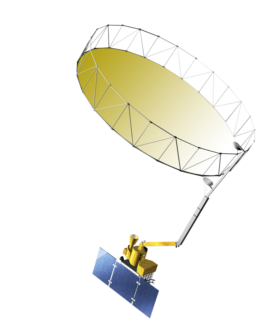
Combine depth trends with weather and irrigation records, and establish who investigates missing or implausible readings. The McMaster Mesonet study adds an example of spatial and temporal variation, while SMAP shows why ground observations remain valuable when interpreting regional products. These connections help keep sensor coverage aligned with the actual scale of the management question.