A seven-year record from south-eastern Australia
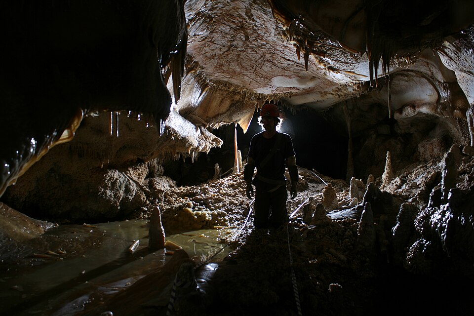
Tadros and colleagues’ 2016 paper examined the relationship between El Niño–Southern Oscillation and cave drip water hydrochemistry using a seven-year dataset from Harrie Wood Cave in the Snowy Mountains of south-eastern Australia. The study followed three drip sites. Its focus was the connection between climate variability, recharge and water chemistry in a particular karst setting.
ENSO describes coupled ocean and atmosphere variability in the tropical Pacific, with regional influences that differ by location and season. The cave study explores one local response to that broader variability. It should not be used to claim that all caves, all soils or all Australian farms respond to an ENSO phase in the same way. Local observations and pathways remain essential.
Water carries a history through the ground
Rainfall can enter soil, move through fractures and storage zones, mix with existing water and finally emerge as a cave drip. Along that route, contact with minerals and changes in carbon dioxide conditions influence dissolved constituents. The resulting drip chemistry represents the pathway and its history, rather than an unchanged sample of the latest rainfall.
The paper considers processes including recharge and mixing, along with prior calcite precipitation, when interpreting hydrochemical patterns. These processes can modify a climate signal and make neighbouring drip sites behave differently. A delay or a muted response does not necessarily mean that the climate influence is absent; storage and flow paths can change how that influence appears in a measured record.
Correlation needs a physical explanation
A relationship between a climate index and a chemical series is more useful when supported by a plausible hydrological mechanism and suitable observations. Ask which variable was measured, how frequently, at which site and over what period. A seven-year record is valuable, but its length and particular events constrain what can be inferred about longer term variability.
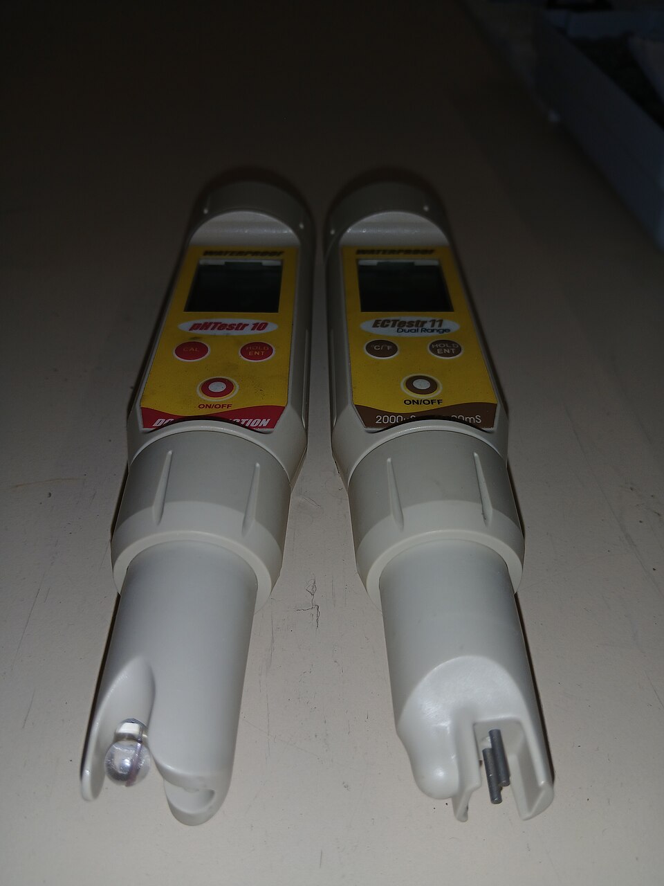
Separate direct measurements from explanations and reconstructions. Cave deposits may preserve environmental information, but interpreting them requires knowledge of the processes linking surface conditions to drip water and mineral growth. The sampling guide makes a related practical point: the analytical result describes a defined material and method, whose relationship to the field question must be established.
A lesson for soil and irrigation records
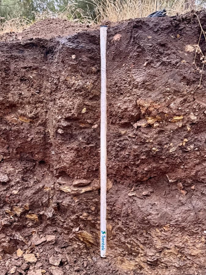
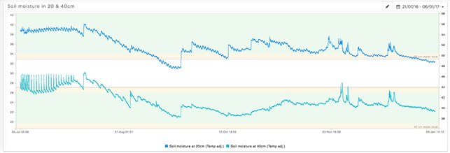
A root-zone sensor also sees water after it has moved through a local system. Rainfall may not reach the installed depth, irrigation may wet only part of the soil, and layers may delay or redirect a pulse. This does not make a farm probe equivalent to a cave monitoring site. It shows why observations need context before they are linked to a distant driver such as weather or a climate index.
Keep rainfall and irrigation records, describe the profile and compare multiple depths where the question requires them. Use moisture graphs to examine response timing, and multi-site observations to understand variability. The cave study’s transferable lesson is careful attribution of causes: measured changes can reflect storage, transport and local chemistry as well as the original climate forcing.