An example of observations across space and depth
Kornelsen and Coulibaly’s 2013 McMaster Mesonet paper describes a soil moisture dataset from four sites in a watershed of about 1,250 square kilometres. The study reports hourly TDR measurements at six depths from 10 to 100 centimetres, with nine measurement locations per site. This arrangement allowed the authors to examine variability across time, depth and local spatial position.
The site counts and sampling intervals describe the dataset reported in 2013. Multiple positions and depths allowed the authors to examine spatial variability that a single continuous record could not resolve.
Why neighbouring readings can differ
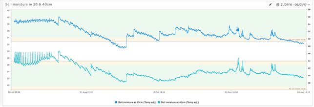
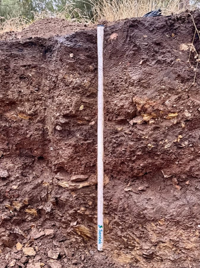
A sensor responds to the soil in its local sensing volume. Differences in texture, roots, drainage, slope or rainfall distribution can therefore produce different moisture histories at nearby points. At different depths, a wetting event may arrive at different times and with different magnitudes. Those variations can carry useful hydrological information rather than being evidence that one instrument is necessarily wrong.
Before comparing two readings, check installation depth, units, calibration and timing. Then ask whether the locations occupy comparable soil and management conditions. In an irrigated crop, placement relative to an emitter can be a major additional factor. A probe in the centre of a wetted bulb and a probe between rows are answering different questions even if their depths match.
Match the sample design to the decision
If the aim is to track one representative irrigation zone, a carefully selected station may be a sensible starting point. If the aim is to quantify variability across that zone, repeated locations become important. If the aim is to observe movement below the roots, shallow observations alone are insufficient. More frequent uploads cannot compensate for the wrong spatial or depth coverage.
Use a soil survey, field inspection and irrigation layout to identify meaningful differences before adding equipment. Review whether the initial stations separate distinct responses or simply repeat similar information. Installation planning and landscape position support that process. A monitoring design should be assessed against the action it enables, rather than the number of sensors it contains.
Keep comparisons scientifically useful
Link readings to rainfall, irrigation, crop development and site notes. When a time series changes abruptly, distinguish a water event from maintenance, replacement or a change in reporting. Keep raw observations and the rules used to filter or convert them. This makes it possible to compare seasons without confusing a change in the measurement system with a change in the soil.
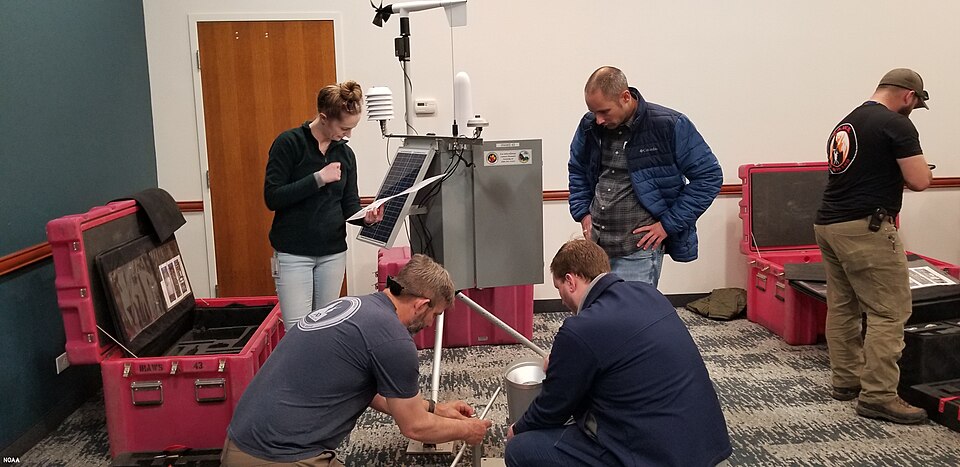
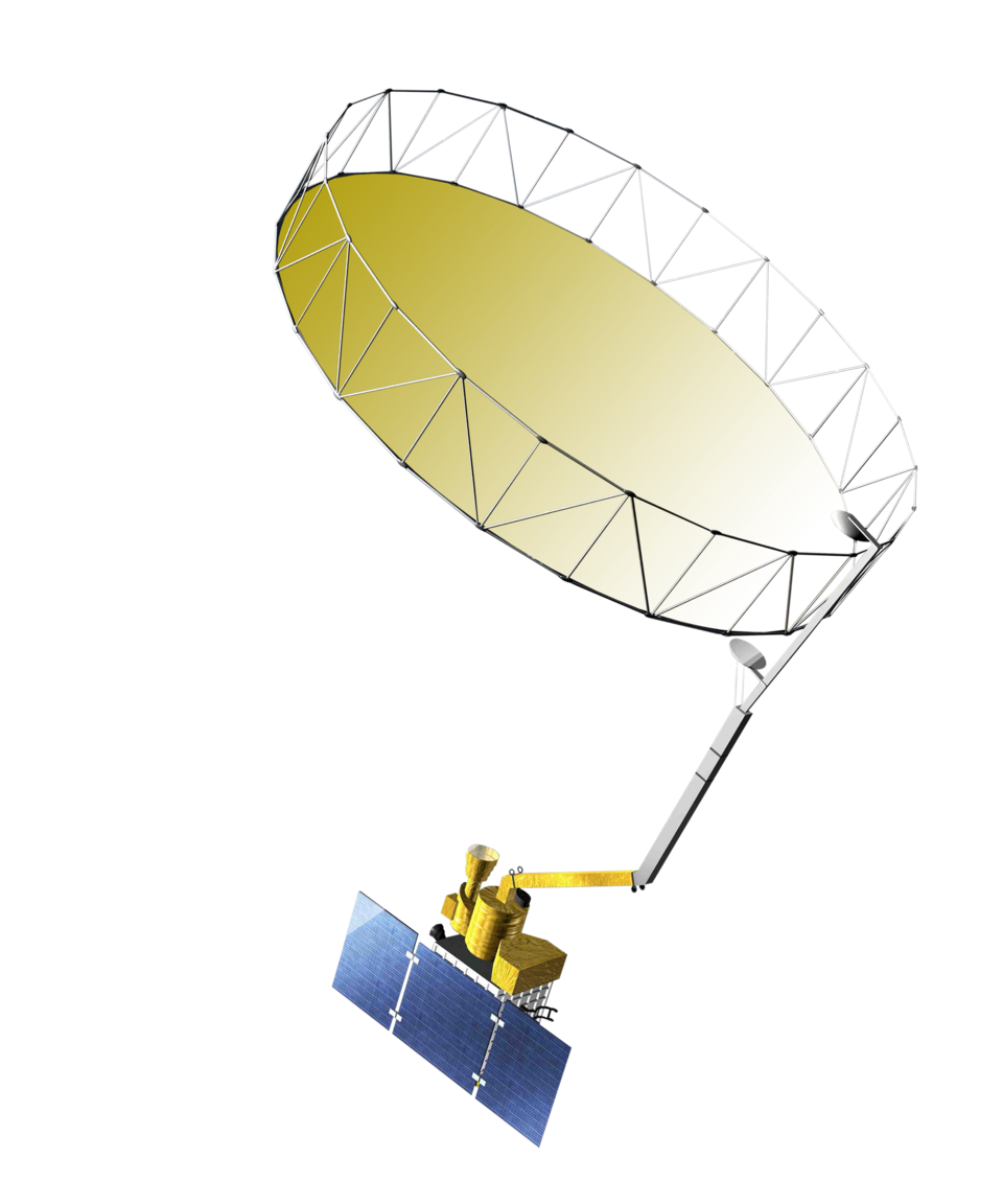
The NOAA network study offers another perspective on observation design, and satellite moisture extends the question to much larger areas. For daily field use, begin with reading depth trends. The study’s practical contribution is a reminder to interpret each trace as evidence from a defined place and depth, within a larger and variable landscape.