Observe moisture across a large area
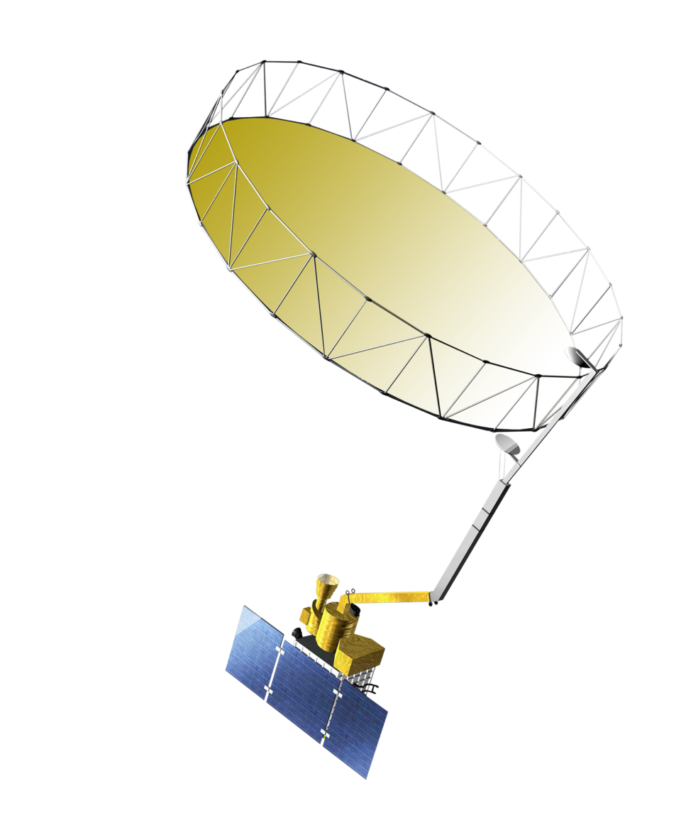
NASA’s Soil Moisture Active Passive mission, SMAP, observes microwave signals to support estimates of near-surface soil moisture and freeze or thaw conditions. Its coverage makes it useful for studying regional water conditions, drought and the movement of wet and dry patterns. A field sensor answers a much smaller scale question, measuring the material around its sensing elements at a selected depth.
Satellite observations are processed into defined products with particular spatial and temporal characteristics. A map colour should therefore be interpreted using that product’s units, quality flags, observation date and resolution. Several products may be called SMAP soil moisture while representing different processing levels or modelled quantities. Start with the product documentation rather than assuming every map is a direct observation of the whole root zone.
Surface estimates are different from root-zone water
SMAP surface soil moisture is commonly described as representing approximately the upper five centimetres. That layer responds quickly to rain, evaporation and surface conditions. Crop roots often occupy a much deeper profile, where water can remain after the surface dries or remain dry after a light rainfall. A dry surface signal therefore does not by itself establish that a mature crop requires irrigation.
Root-zone products can combine satellite observations with land surface models through data assimilation. They are useful estimates, but the deeper water content is not directly sensed at each depth by the satellite. Likewise, a kilometre scale footprint can contain several soils, crops and management practices. A value for that footprint should not be treated as a calibrated reading from a particular orchard row.
Combine regional context with local evidence
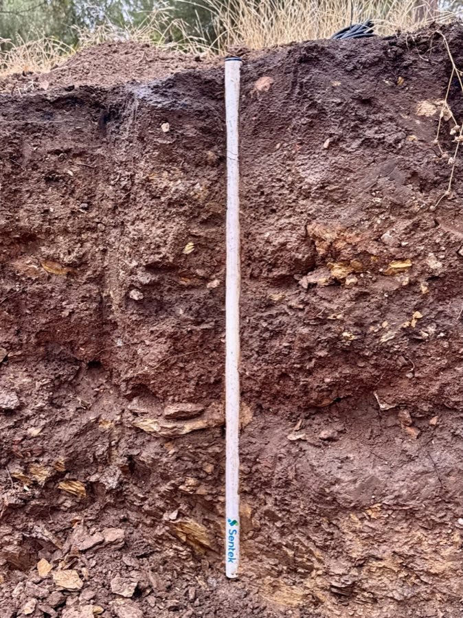
Use satellite information to examine whether a dry spell is widespread, whether regional recharge is occurring, or whether monitored sites are behaving differently from their surroundings. Then use installed probes, weather records and field observations to decide what a particular crop needs. Differences are not necessarily errors: the two systems may describe different depths, dates and areas.
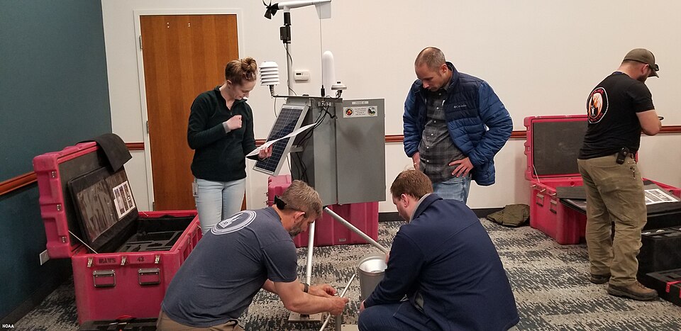
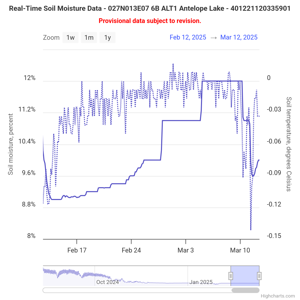
When comparing observations, align times and document recent irrigation or rainfall. Check whether a field probe represents a locally wet drip zone while the satellite pixel includes large non-irrigated areas. Ground networks and multi-site datasets help show why spatial variation matters when validating or interpreting broad-area products.
Satellite measurement is not satellite connectivity
A satellite soil moisture product is remote sensing. A soil probe that sends its readings through a satellite communication service is a different system: the measurement is still made in the ground, while a satellite carries the data. The words satellite sensor can obscure that distinction. For a purchase, identify separately where water is measured and how the readings are transmitted.
For routine irrigation, choose local depth coverage and reliable reporting first, then use broader maps as context where they add value. The connectivity guide compares cellular, radio networks and satellite data paths. A well placed root-zone station can support a local decision even when a regional map appears uniform, while satellite data can reveal patterns beyond the few places where you have installed equipment.